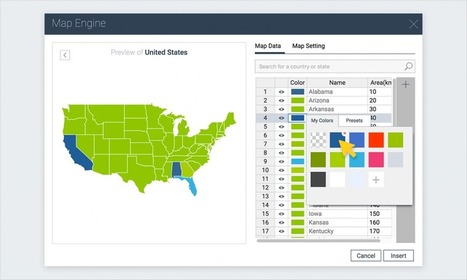
When I first heard of GIS, it did not mean a lot to me. I was in an NGS Institute. I got what GIS was, but did not personalize it. They gave powerful examples, but they were not personalized. This is not eye candy. This is relevant use of data and mapping. Powerful , purposeful gathering of data. My map is simplistic, but that is ok. I am learning and with students that's good.
Research and publish the best content.
Get Started for FREE
Sign up with Facebook Sign up with X
I don't have a Facebook or a X account
Already have an account: Login
 Your new post is loading... Your new post is loading...
 Your new post is loading... Your new post is loading...
|

António Leça Domingues's curator insight,
December 19, 2016 6:44 AM
Criar um mapa interativo com Visme.

Bart van Maanen's curator insight,
December 19, 2016 10:02 AM
Mooie tool om een kaart van data te voorzien.
|


